Professional photogrammetry software enables operators to create a range of outputs in industry-standard file formats …
10 essential rules for safe flying set by the Civil Aviation Agency of the Republic of Slovenia (CAA) ...
In real circumstances, the aircraft (and camera within) direction and position can be disturbed by external factors causing anomalies in the overlapping of aerial photo pairs ...
Today, there are currently two technologies driving the conversation around GPS correction technology – Real Time Kinematic (RTK) and Post Processing Kinematic (PPK)...

Semi-global matching allows high-density point clouds of the first reflective surface to be rapidly and automatically extracted from stereo-imagery ...
In the photogrammetry for the creation of point clouds, digital 3D models and orthophoto maps a stereo pair of aerial photographs is used ...
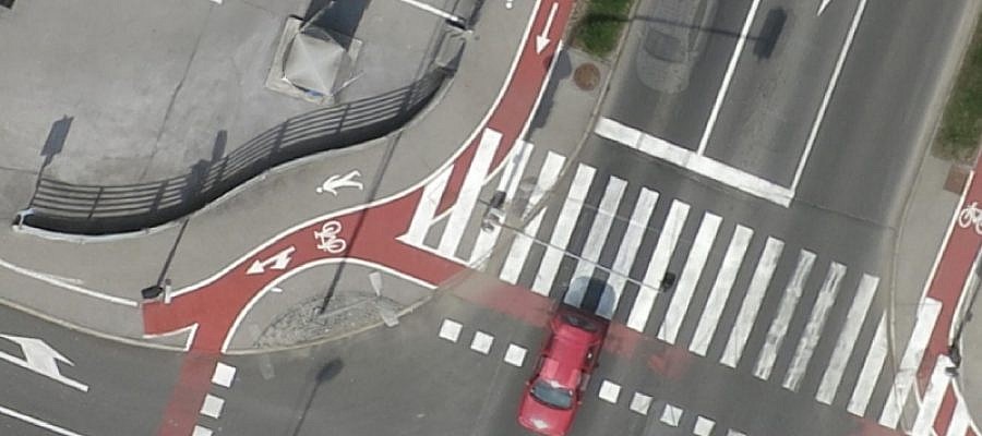
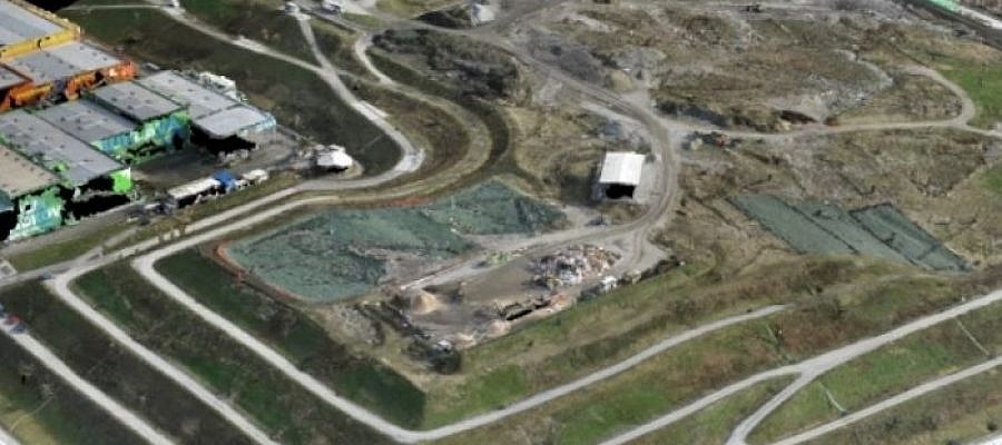
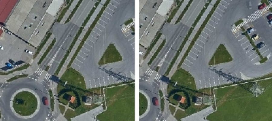
When taking aerial photos of an area where a certain object is moving, the position of such an object is seen as changed in the respective images captured at different points in time …
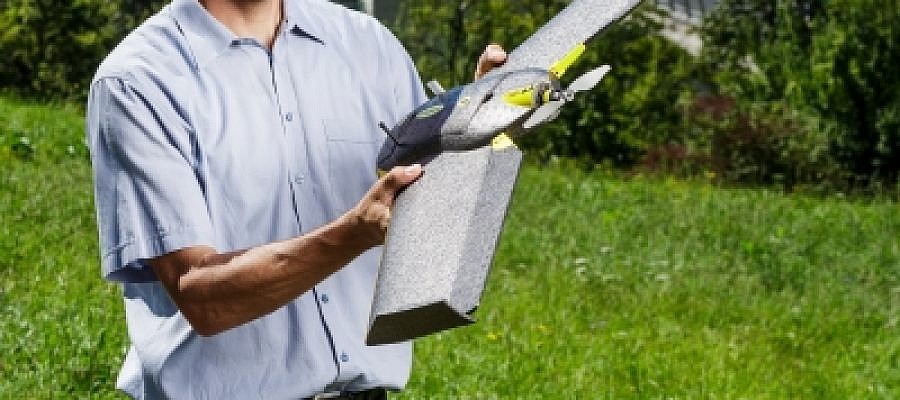
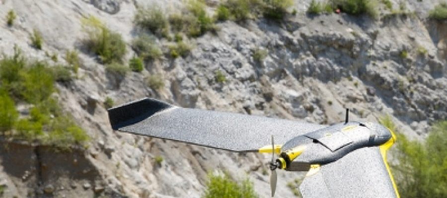
To ensure operational reliability, flight safety and the quality of captured geospatial data with an unmanned aerial vehicle, careful monitoring of the aircraft condition and professional calibration of the entire device as well as its individual parts are required ...
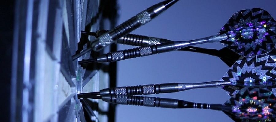
Quality is illustrated by several criteria, including geometric accuracy and geometric precision, but these two terms need to be distinguished from one another ...
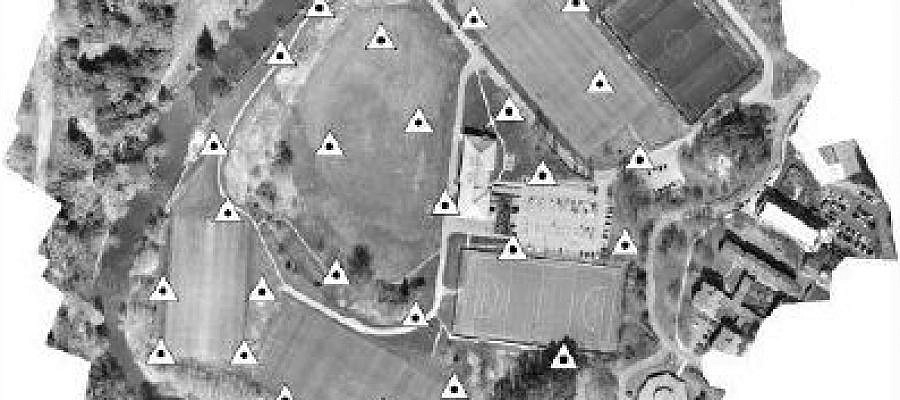
Interesting results of the study, how progressive numbers of Ground Control Points (GCP) effect on the DEM and orthoimage accuracies ...