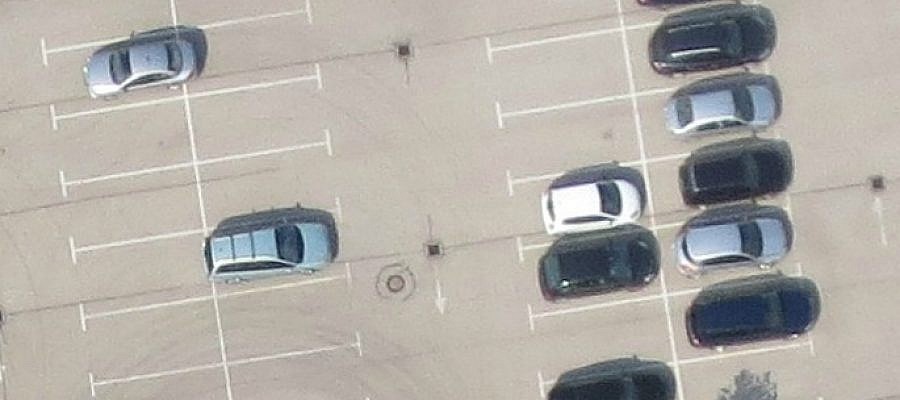
Digital aerial photos are composed of a matrix of pixels. Each pixel is actually a small square. GSD (Ground Sample Distance) tells the size of the side of this ...
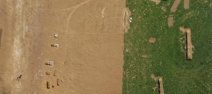
For scientific projects and research of archaeological heritage, a comprehensive overview of the landscape and its elements is essential. It is also useful to have a look from different ...