
What sort of accuracy can be expected from an orthophoto plan produced from aerial photos ...
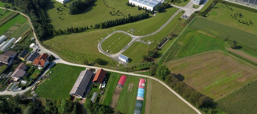
There are many reasons why unmanned aircrafts have become a very effective land surveying tool. First of all, they undoubtedly reduce the time needed to obtain accurate data. The georeferenced ...