Today, there are currently two technologies driving the conversation around GPS correction technology – Real Time Kinematic (RTK) and Post Processing Kinematic (PPK)...
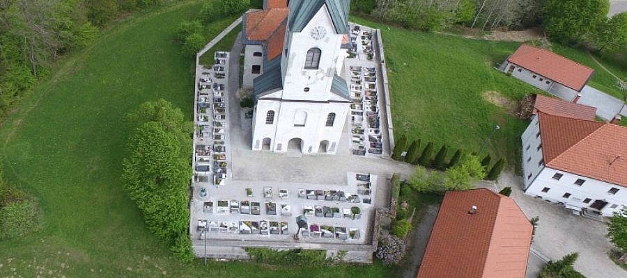
When it comes to the protection of cultural heritage, documenting the heritage objects is of key importance. Modern digital technologies serve us well in these endeavours as they enable ...
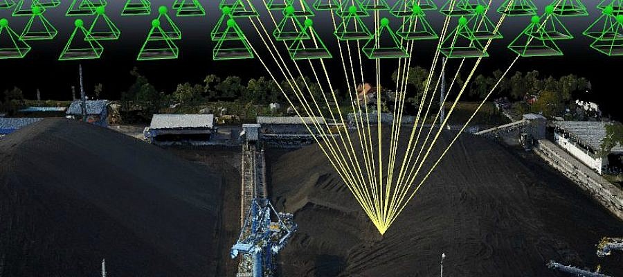
Thanks to progress and digitisation, photogrammetry, once a traditional land surveying method and a science of making measurements from photographs, has been applied in a number of fields ...
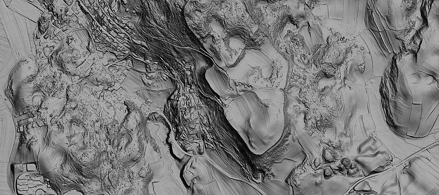
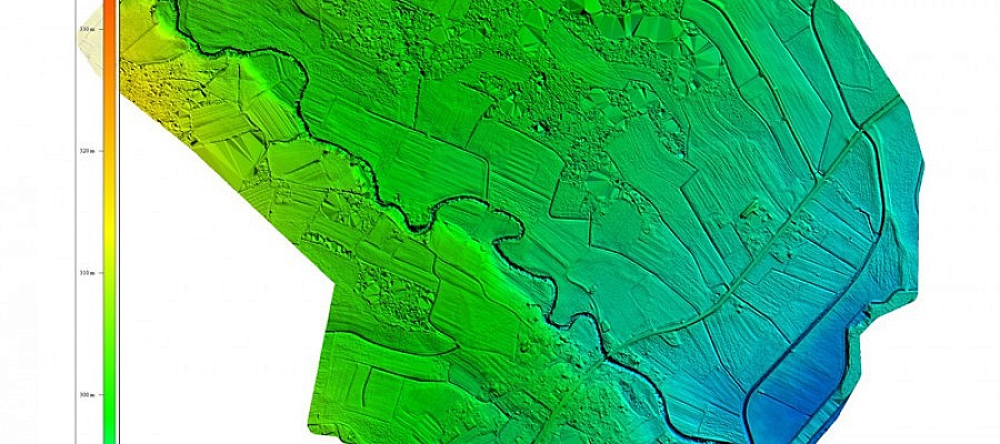
In September 2015, the Ministry of Environment and Spatial Planning began to provide terrain data for the whole of Slovenia. The data required for this purpose has been obtained ...
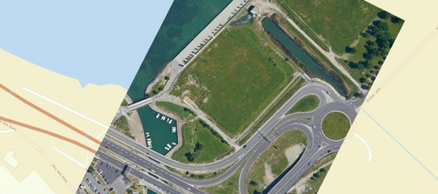
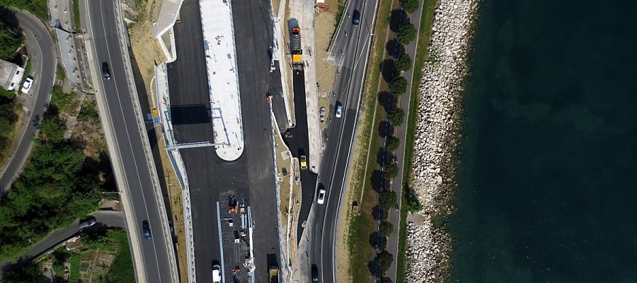
Any construction of new facilities requires intense preparations, in particular when speaking about business premises, infrastructure or facilities of wider social importance. New buildings may cause adverse effects on the ...
Modern geographic information systems have changed the way we work, make decisions, and change the world around us. Every moment, we have access to an endless number of geographic data ...
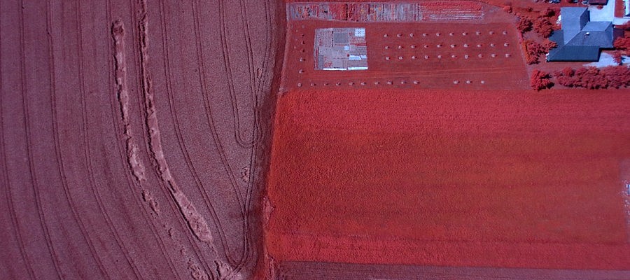
There is a wide range of cameras which can be fitted to a drone. NIR-cameras capture image data in the infrared portion of electromagnetic spectrum and are used primarily ...
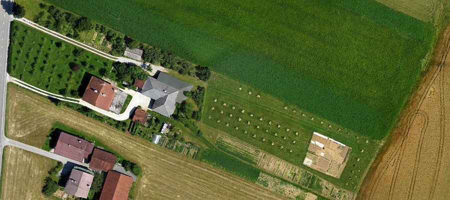
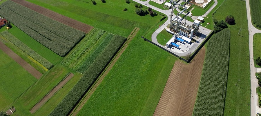
Obtaining data on farmland with high resolution aerial photography is becoming more commonly used in agronomy since the aerial photographs are the most up-to-date and objective document that ...
Aerial photos (especially orthophotos) have been used in town and spatial planning for many years. Since the appearance of small unmanned aircrafts, this technology can be used in a more ...
There are many reasons why unmanned aircrafts have become a very effective land surveying tool. First of all, they undoubtedly reduce the time needed to obtain accurate data. The georeferenced ...