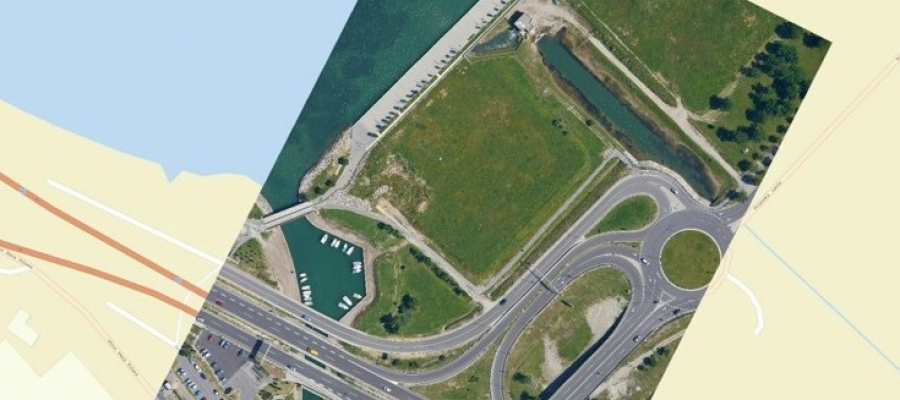
The images of the Earth’s surface taken with a satellite or an aircraft (satellite images, aerial photos etc.) are ordinary digital photos that lack the information on how ...
Different techniques of capturing spatial data make it possible to create point clouds with various characteristics. Geavis compared point clouds obtained by using two different technologies ...