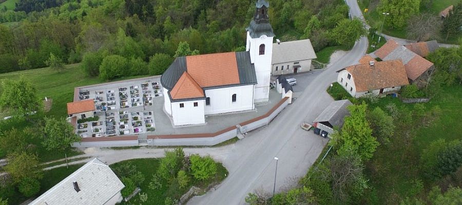
The area size that can be imaged during the flight depends on the flight altitude ...
A senseFly drone flying out of radio range poses no problem. It certainly does not usually lead to a crash ...
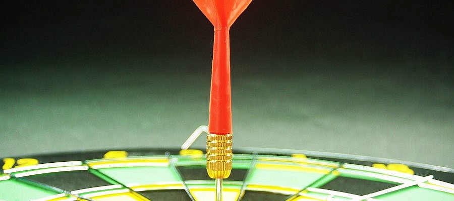
What sort of accuracy can be expected from an orthophoto plan produced from aerial photos ...
If the drone's radio link is lost, the vast majority of cases this is not a problem ...
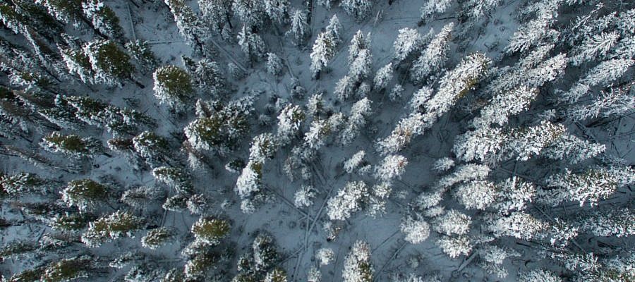
Flying unmanned aircrafts in winter conditions requires more caution than during other seasons ...
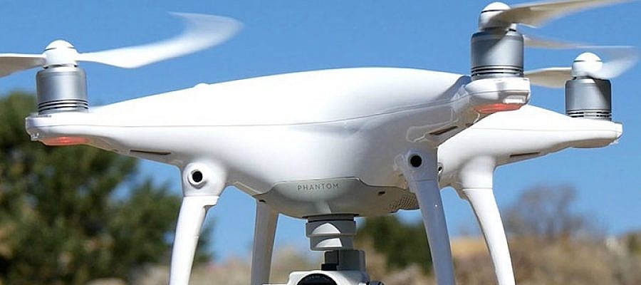
The eBee, the senseFly unmanned aircraft used by Geavis, has been tested for take-off at up to 4.000 m (13,123 ft) above sea level ...
Thanks to progress and digitisation, photogrammetry, once a traditional land surveying method and a science of making measurements from photographs, has been applied in a number of fields ...
The new technological revolution brought about by the development of unmanned aircrafts raises a number of questions, including how their presence in the air impacts the original inhabitants of air space ...
The shutter type of the camera used to acquire imagery can influence the results produced by photogrammetry software. Images taken with rolling shutter cameras, for example, contain a vertical displacement ...
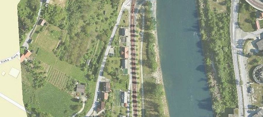
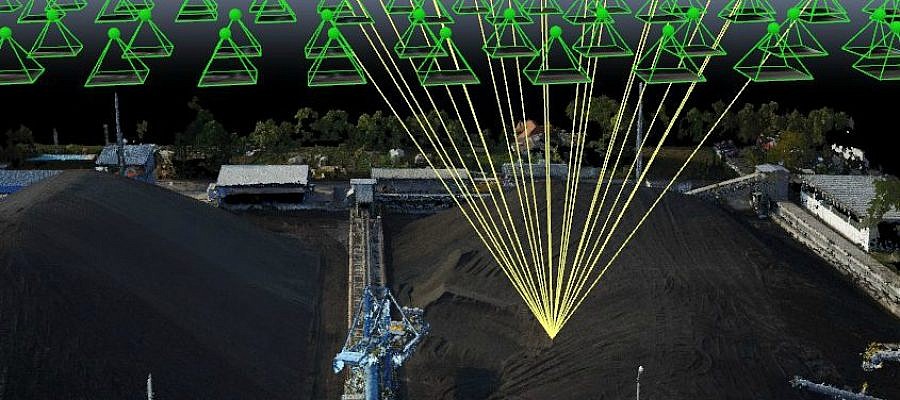
Regular aerial photos are made following the principles of central projection. This means that a photo represents the image of the earth’s surface as observed from a single point ...