


with quality data
spatial data production platforms – to obtain a realistic view of your space,
none of this shall be missing.
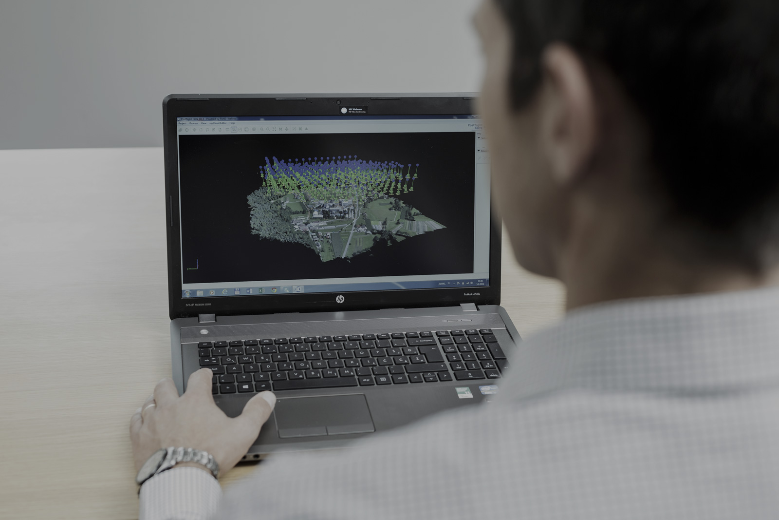
data transformation
we help you to efficiently process, interpret, manage,
and share spatial data from different sources.
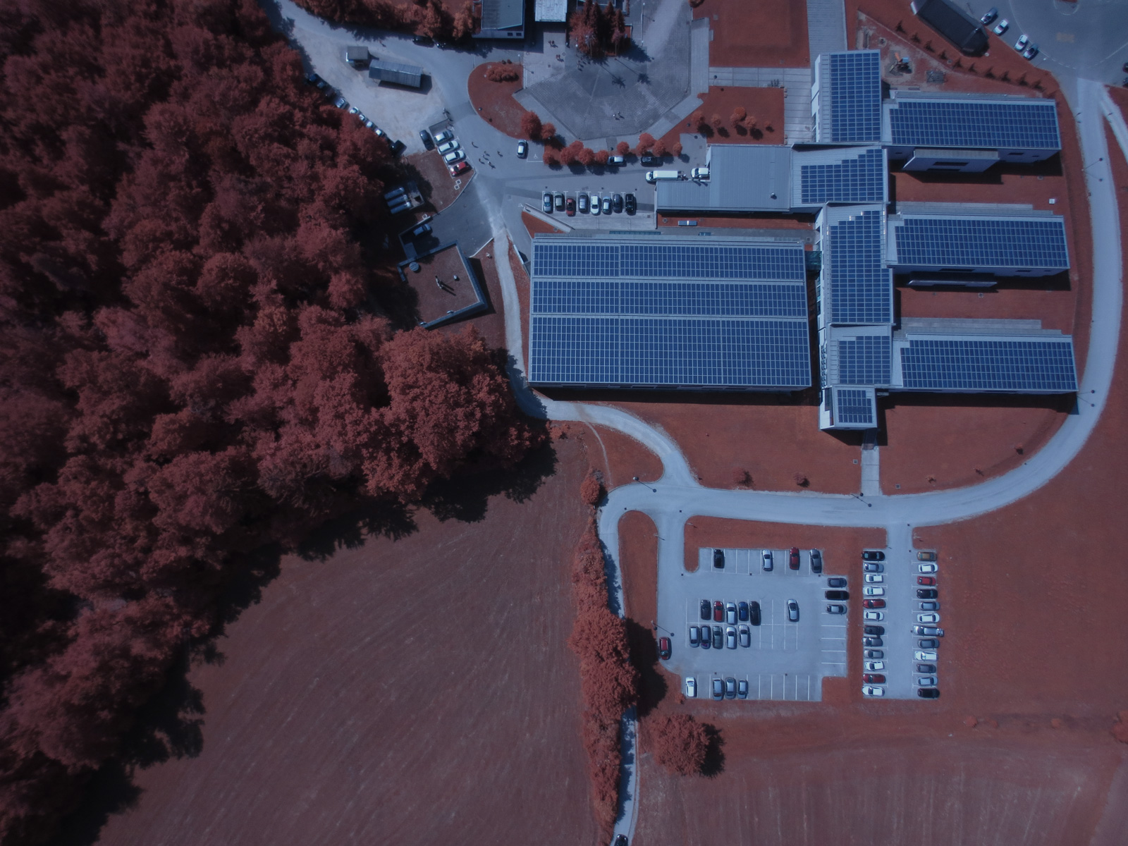
the importance
are translated into a meaningful and useful information for your industry.
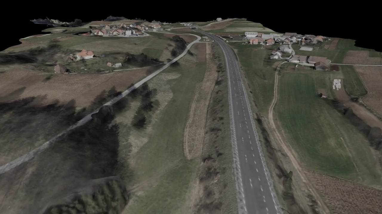
understanding
Thus you can find answers to your questions and take appropriate measures.




WHAT OUR CUSTOMERS SAY