Modern geographic information systems have changed the way we work, make decisions, and change the world around us. Every moment, we have access to an endless number of geographic data ...
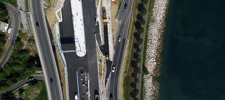
When taking aerial photographs by using a drone, we are faced with restrictions that are associated with such manner of flying. The camera, which is typically installed into the airframe ...
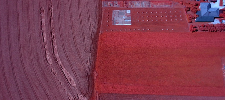
There is a wide range of cameras which can be fitted to a drone. NIR-cameras capture image data in the infrared portion of electromagnetic spectrum and are used primarily ...
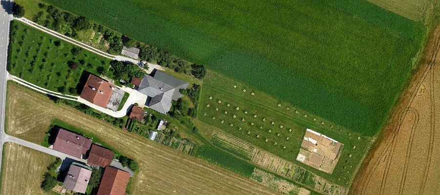
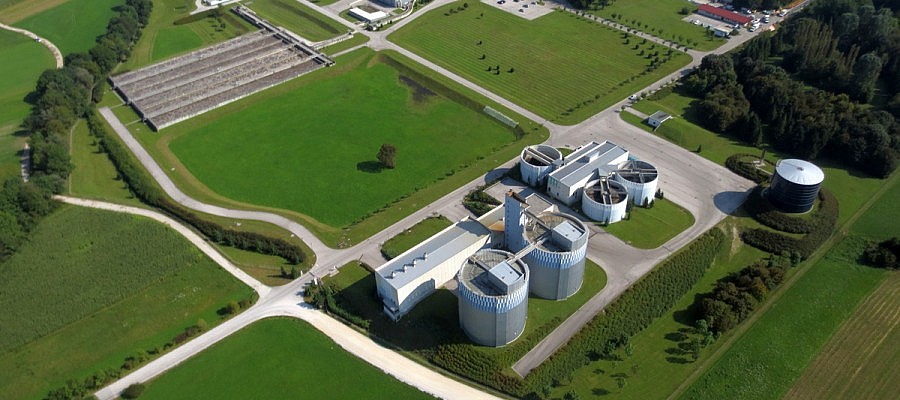
Obtaining data on farmland with high resolution aerial photography is becoming more commonly used in agronomy since the aerial photographs are the most up-to-date and objective document that ...
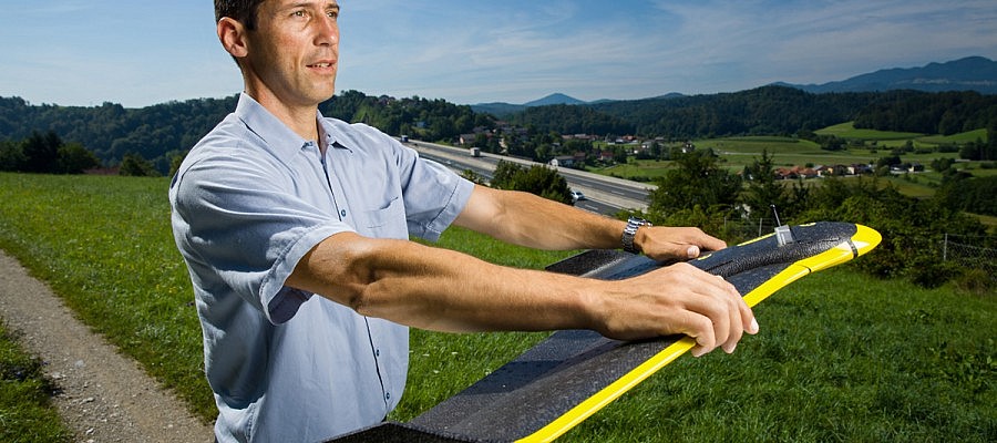
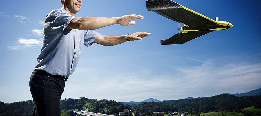
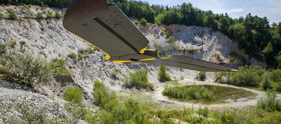
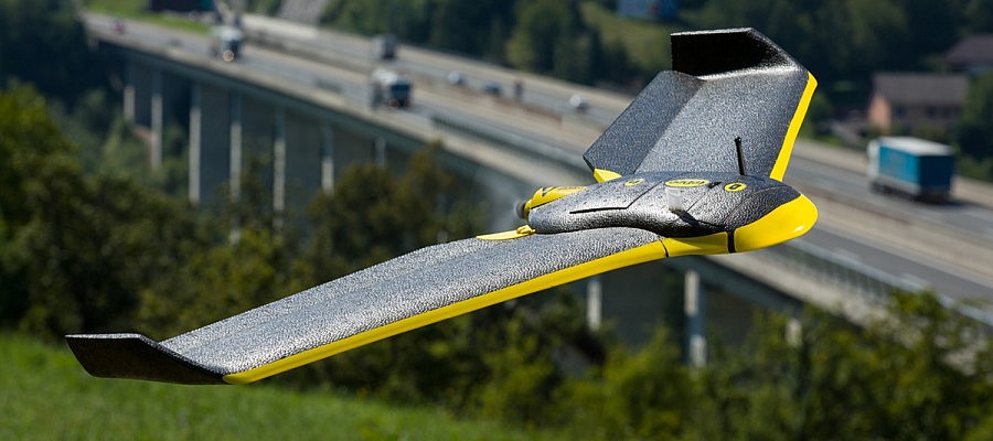
The senseFly eBee unmanned aircraft used by Geavis takes off from the operator’s hand after being directed against the wind in order to limit the necessary ground velocity. The aircraft’s ...
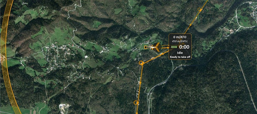
An unmanned aircraft operator monitors the flight by means of specialist software installed on a laptop. Prior to take-off, the operator must first prepare a flight plan, whereby the input ...
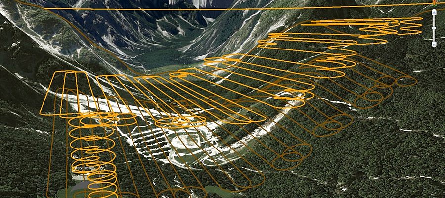
When it comes to aerial photography, hilly areas represent a special challenge. The camera acquires an image of the landscape in a fashion similar to that of the human eye ...
Geavis uses senseFly eBee unmanned aerial vehicle whose flight endurance with a full battery is for about 45 minutes, and during that time it can overfly 30 km. By replacing ...
Photogrammetric procedures enable us to obtain a high-density point cloud that can exceed 100 points/m2 in areas where the texture of the surface is well defined. In addition to ...
Critical situations of the unmanned aerial vehicle occur extremely rarely. SenseFly eBee unmanned aerial vehicle used by Geavis will try to return to its take-off location and to land safely ...