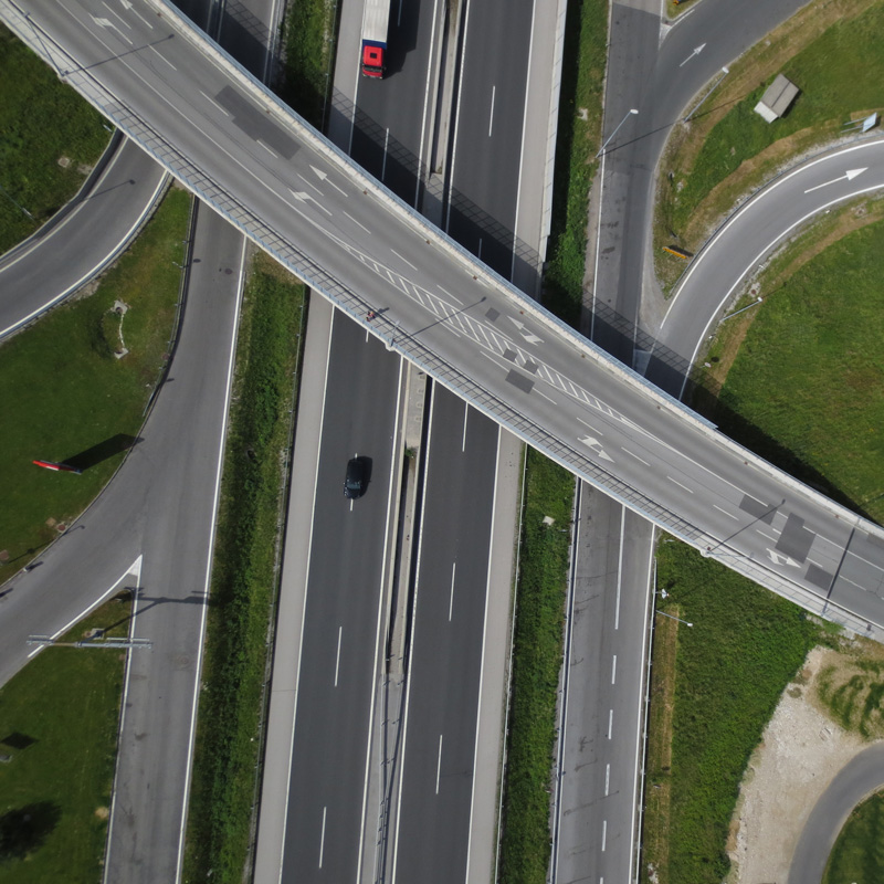
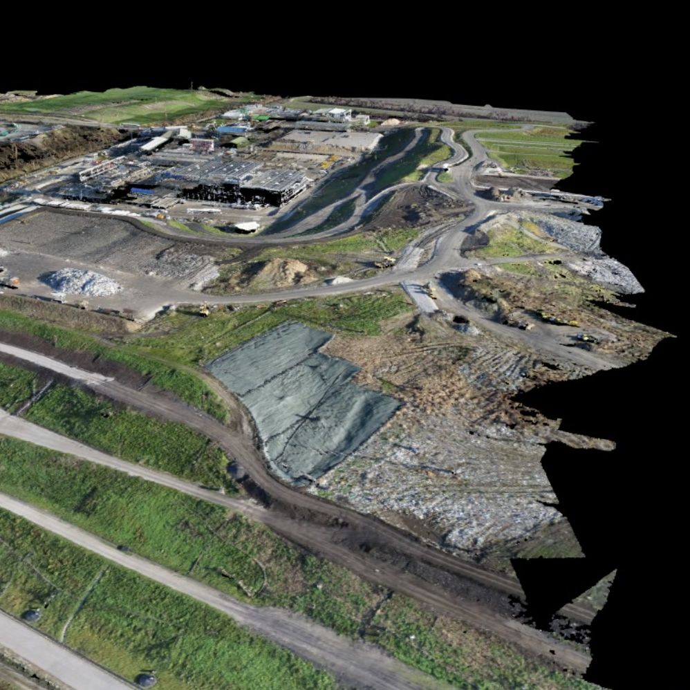
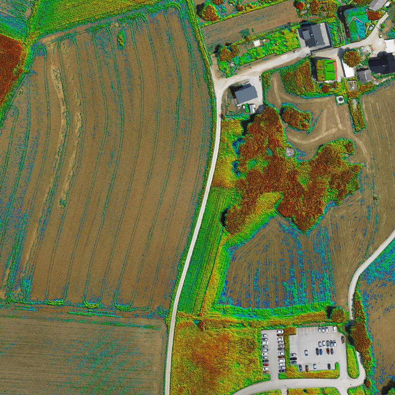
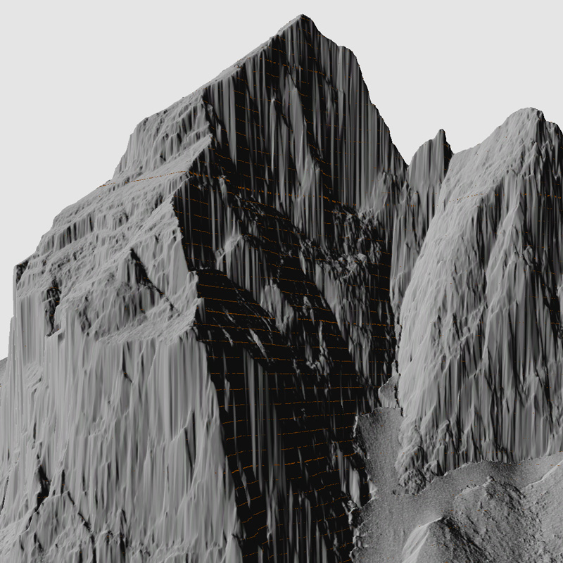
We provide geospatial services including acquisition of spatial data and their analysis, visualisation and interpretation of the area, terrain or buildings. For this purpose we use a comprehensive range of the latest state of the art remote sensing technologies using small unmanned aircraft and terrestrial 3D laser scanners, professional algorithms and powerful modelling tools. Thereby we rely on our own expertise and skills in the field of photogrammetry.