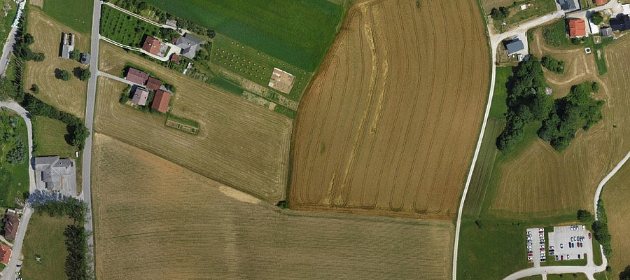
Obtaining data on agricultural surfaces by means of high-resolution aerial photography is becoming an increasingly economic solution as it is a safe and quickly realizable method that can be applied ...
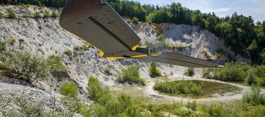
Photogrammetric procedures enable us to obtain a high-density point cloud that can exceed 100 points/m2 in areas where the texture of the surface is well defined. In addition to ...
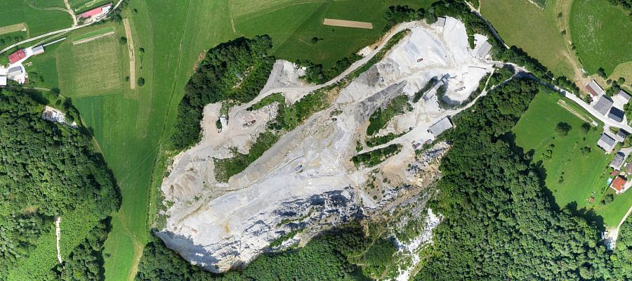
Numerous problems that are facing the experts in the field of excavation in quarries, sand pits and gravel pits can be solved by using the data collected via the aerial ...