+386 1 292 73 90info@geavis.si
SI
logo
Geavis
logo
  • Services
    • Spatial Data Acquisition
    • Advanced Spatial Data Processing
    • Geospatial Analysis
    • Visualizations and Presentations
  • Applications
    • Governmental Institutions and Public Sector
    • Real Estate
    • Mapping and Land Surveying
    • Civil Engineering
    • Industry and Infrastructure
    • Quarries and Open Mines
    • Agriculture and Forestry
    • Insurance
    • Spatial Research
    • Tourism and Promotion
  • Technology
  • Projects
  • Geavis
    • Geavis
    • Clients
    • Contact
  • Blog
Advantages brought by trends in close-range photogrammetry
Rules for safe flying and responsible use of unmanned aircrafts
At what altitudes can the senseFly eBees unmanned aircraft fly?
17.12.2016 Technology

geavis-ebee-nadmorska

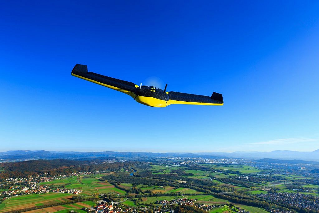
The eBee, the senseFly unmanned aircraft used by Geavis, has been tested for take-off at up to 4.000 m (13,123 ft) above sea level and in flight at up to 5,200 m (17,060 ft) above sea level.

Technically speaking, there is virtually no limit to the altitude the eBee can fly at. However what is important to remember is that this altitude is a result of the ground resolution required by the operator; when this resolution is set in the drone’s eMotion flight planning software, the program automatically determines and sets the optimal flight altitude.

For example, the desired ground resolution of 3 cm (1.2 in) per pixel will lead to eMotion setting the drone’s flight altitude at 100 m (328 ft). If such a high resolution is not required, for example if maximizing the drone’s coverage area is more important, then choosing 30 cm or 12 inches per pixel would increase eMotion’s chosen flight altitude to 1000 m (3,281 ft).

Every operator must, of course, ensure that the altitude set by eMotion abides by their country’s federal aviation regulations. In Slovenia, the Decree on Unmanned Aircraft Systems took effect in the middle of August 2016. It lays down general technical and operative conditions for a safe use of unmanned aircraft and the rules that apply to persons participating in the piloting of unmanned aircraft. By this regulation, unmanned aircrafts are allowed to fly up to 150 meters above the ground outside controlled airspace, while flying up to 300 meters is possible only with a previously obtained permission of the Civil Aviation Agency of the Republic of Slovenia (CAA).

0 Like!
Share
Leave a reply Required fields are marked *

Click here to cancel reply.

Categories

  • Agriculture and Forestry (4)
  • Mapping and Surveying (2)
  • Public Sector (1)
  • Quarries and Open Mines (2)
  • Real Estate (3)
  • Regulations (5)
  • Spatial Research (2)
  • Technology (40)
  • Trends (13)

Archive

  • January 2019 (1)
  • September 2018 (2)
  • June 2018 (1)
  • March 2018 (1)
  • January 2018 (2)
  • December 2017 (1)
  • September 2017 (1)
  • June 2017 (1)
  • May 2017 (2)
  • April 2017 (1)
  • March 2017 (1)
  • February 2017 (1)
  • January 2017 (3)
  • December 2016 (1)
  • November 2016 (1)
  • October 2016 (1)
  • September 2016 (2)
  • August 2016 (1)
  • July 2016 (2)
  • May 2016 (2)
  • April 2016 (1)
  • February 2016 (2)
  • January 2016 (1)
  • December 2015 (1)
  • November 2015 (1)
  • October 2015 (1)
  • September 2015 (2)
  • August 2015 (1)
  • July 2015 (2)
  • May 2015 (1)
  • April 2015 (1)
  • March 2015 (2)
  • February 2015 (3)
  • January 2015 (4)

GEOSPACE

Geospace is Geavis' collection of domestic and foreign web contents describing the adventures of those small civil unmanned drones, the application aspects of aerial photography and geospatial challenges for the benefit of life and business.


View my Flipboard Magazine.

Follow us

LinkedINYouTubeskype

BE INFORMED


We will not spam! Ever! You can unsubscribe any time.
© 2016 Geavis d.o.o.
  • | Cookies Information
  • | Legal Information
  • | Authors
Geavis