+386 1 292 73 90info@geavis.si
SI
logo
Geavis
logo
  • Services
    • Spatial Data Acquisition
    • Advanced Spatial Data Processing
    • Geospatial Analysis
    • Visualizations and Presentations
  • Applications
    • Governmental Institutions and Public Sector
    • Real Estate
    • Mapping and Land Surveying
    • Civil Engineering
    • Industry and Infrastructure
    • Quarries and Open Mines
    • Agriculture and Forestry
    • Insurance
    • Spatial Research
    • Tourism and Promotion
  • Technology
  • Projects
  • Geavis
    • Geavis
    • Clients
    • Contact
  • Blog
The importance of georeferencing raster images
The difference between an aerial photo and a digital orthophoto
Geavis is one of the first in Slovenia with the CAA certificate of expertise in the rules of flying unmanned aircraft systems
25.08.2016 Regulations


Geavis-CAA-potrdilo

The Regulation of Unmanned Aircraft Systems took effect in the middle of August in Slovenia. It lays down general technical and operative conditions for a safe use of unmanned aircrafts and the rules that apply to persons participating in the piloting of unmanned aircraft. The rules of this Regulation are designed to minimize risks to other aircraft and people and property on the ground.

The Regulation demands from the operators who perform aviation activities of the categories C or D, that the pilots of their unmanned aircraft have to take an exam and obtain the certificate of the expertise in the rules of flying unmanned aircraft. The aviation activity classification based on operational weight of the unmanned aircraft and the flight area class (according to the population rate and the presence of people and buildings).

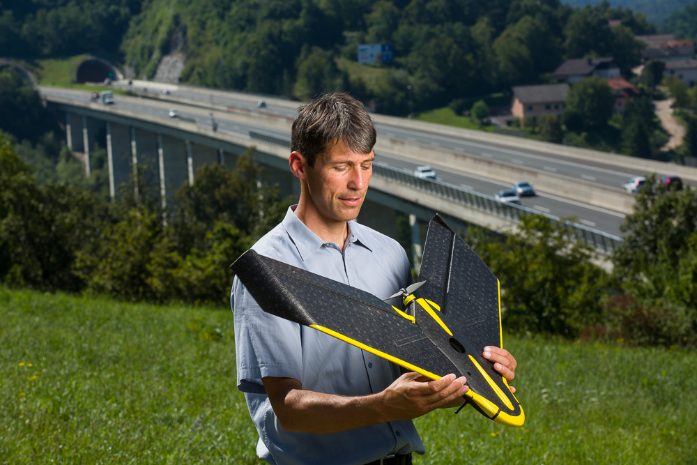
Geavis, who performs aviation activities in several categories, has register its pilot of an unmanned aircraft for the first examination at the Civil Aviation Agency of the Republic of Slovenia (CAA). A successful completion of the exam confirms the Geavis engineer’s professionalism and his expertise in aviation activities; from technical to operative aspects.

0 Like!
Share
Leave a reply Required fields are marked *

Click here to cancel reply.

Categories

  • Agriculture and Forestry (4)
  • Mapping and Surveying (2)
  • Public Sector (1)
  • Quarries and Open Mines (2)
  • Real Estate (3)
  • Regulations (5)
  • Spatial Research (2)
  • Technology (40)
  • Trends (13)

Archive

  • January 2019 (1)
  • September 2018 (2)
  • June 2018 (1)
  • March 2018 (1)
  • January 2018 (2)
  • December 2017 (1)
  • September 2017 (1)
  • June 2017 (1)
  • May 2017 (2)
  • April 2017 (1)
  • March 2017 (1)
  • February 2017 (1)
  • January 2017 (3)
  • December 2016 (1)
  • November 2016 (1)
  • October 2016 (1)
  • September 2016 (2)
  • August 2016 (1)
  • July 2016 (2)
  • May 2016 (2)
  • April 2016 (1)
  • February 2016 (2)
  • January 2016 (1)
  • December 2015 (1)
  • November 2015 (1)
  • October 2015 (1)
  • September 2015 (2)
  • August 2015 (1)
  • July 2015 (2)
  • May 2015 (1)
  • April 2015 (1)
  • March 2015 (2)
  • February 2015 (3)
  • January 2015 (4)

GEOSPACE

Geospace is Geavis' collection of domestic and foreign web contents describing the adventures of those small civil unmanned drones, the application aspects of aerial photography and geospatial challenges for the benefit of life and business.


View my Flipboard Magazine.

Follow us

LinkedINYouTubeskype

BE INFORMED


We will not spam! Ever! You can unsubscribe any time.
© 2016 Geavis d.o.o.
  • | Cookies Information
  • | Legal Information
  • | Authors
Geavis