+386 1 292 73 90info@geavis.si
SI
logo
Geavis
logo
  • Services
    • Spatial Data Acquisition
    • Advanced Spatial Data Processing
    • Geospatial Analysis
    • Visualizations and Presentations
  • Applications
    • Governmental Institutions and Public Sector
    • Real Estate
    • Mapping and Land Surveying
    • Civil Engineering
    • Industry and Infrastructure
    • Quarries and Open Mines
    • Agriculture and Forestry
    • Insurance
    • Spatial Research
    • Tourism and Promotion
  • Technology
  • Projects
  • Geavis
    • Geavis
    • Clients
    • Contact
  • Blog
  • All
  • Agriculture and Forestry
  • Civil Engineering
  • Governmental Institutions and Public Sector
  • Mapping and Surveying
  • Quarries and Open Mines
  • Real Estate
  • Spatial Research
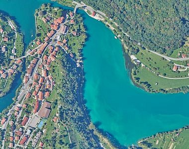
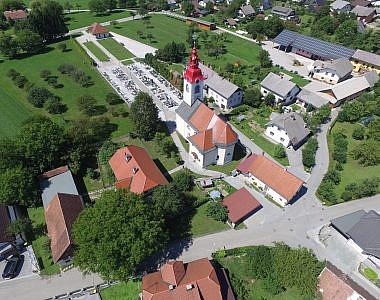
New orthophoto maps for updating the raster layer of the spatial information system of municipalities Tolmin, Kobarid, and Bovec
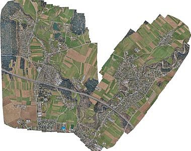
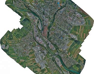
New orthophoto maps for updating the raster layer of the Kranj municipality spatial information system
Updating cemetery orthophoto maps in the municipality of Kozje
Taking aerial photos and creating an orthophoto plan of the Kompolje – Pri Cerkvi-Struge road
Photogrammetric measuring of landfill cells at the Barje landfill
Aerial survey and production the orthophoto mosaic of the Port of Koper
Updating cemetery orthophoto maps for the spatial information system of municipalities PISO
Updating the raster layer of the Kranj municipality spatial information system
Updating the raster layer of the ŽALE spatial information system
Updated orthophoto mosaic for the area of the new traffic link in the Ljubljana Vič district community
Older

GEOSPACE

Geospace is Geavis' collection of domestic and foreign web contents describing the adventures of those small civil unmanned drones, the application aspects of aerial photography and geospatial challenges for the benefit of life and business.


View my Flipboard Magazine.

Follow us

LinkedINYouTubeskype

BE INFORMED


We will not spam! Ever! You can unsubscribe any time.
© 2016 Geavis d.o.o.
  • | Cookies Information
  • | Legal Information
  • | Authors