+386 1 292 73 90info@geavis.si
SI
logo
Geavis
logo
  • Services
    • Spatial Data Acquisition
    • Advanced Spatial Data Processing
    • Geospatial Analysis
    • Visualizations and Presentations
  • Applications
    • Governmental Institutions and Public Sector
    • Real Estate
    • Mapping and Land Surveying
    • Civil Engineering
    • Industry and Infrastructure
    • Quarries and Open Mines
    • Agriculture and Forestry
    • Insurance
    • Spatial Research
    • Tourism and Promotion
  • Technology
  • Projects
  • Geavis
    • Geavis
    • Clients
    • Contact
  • Blog
Important things to know about the positional accuracy of orthophoto plans produced from aerial photos
What is the area that can be imaged by the eBee drone during one flight?
How do I find my drone if it flies out of radio range or crashes?
13.03.2017 Technology

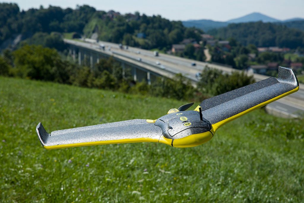
The standard range of an eBee, the senseFly unmanned aircraft used by Geavis, radio link is approximately 3 km (1.86 miles).

In the vast majority of cases, a senseFly drone flying out of radio range poses no problem. It certainly does not usually lead to a crash. Since the drone is designed to fly autonomously it features numerous failsafe systems. These return it to its Home waypoint if trouble occurs (where it will either commence landing or allow you to give new commands), such as the battery running low, high winds, or the drone reaching the edge of working area radius.

If a drone crashes within radio range, this can be located in either of two ways: its last GPS coordinates will be displayed in the flight management software, so you can simply input these into your smartphone’s map application to find the drone; or the aircraft’s last position can be visually identified on the base map being shown in drone’s flight management software.

For operators planning to fly eBee drones in extreme situations, such as those with potentially high gusty winds, very mountainous areas, out of line of sight, or over very large coverage areas, senseFly offers an optional radio tracker system. This comprises a small radio tracker that fits snugly in the compartment next to the eBee’s battery space, plus a handheld receiver.


0 Like!
Share
Leave a reply Required fields are marked *

Click here to cancel reply.

Categories

  • Agriculture and Forestry (4)
  • Mapping and Surveying (2)
  • Public Sector (1)
  • Quarries and Open Mines (2)
  • Real Estate (3)
  • Regulations (5)
  • Spatial Research (2)
  • Technology (40)
  • Trends (13)

Archive

  • January 2019 (1)
  • September 2018 (2)
  • June 2018 (1)
  • March 2018 (1)
  • January 2018 (2)
  • December 2017 (1)
  • September 2017 (1)
  • June 2017 (1)
  • May 2017 (2)
  • April 2017 (1)
  • March 2017 (1)
  • February 2017 (1)
  • January 2017 (3)
  • December 2016 (1)
  • November 2016 (1)
  • October 2016 (1)
  • September 2016 (2)
  • August 2016 (1)
  • July 2016 (2)
  • May 2016 (2)
  • April 2016 (1)
  • February 2016 (2)
  • January 2016 (1)
  • December 2015 (1)
  • November 2015 (1)
  • October 2015 (1)
  • September 2015 (2)
  • August 2015 (1)
  • July 2015 (2)
  • May 2015 (1)
  • April 2015 (1)
  • March 2015 (2)
  • February 2015 (3)
  • January 2015 (4)

GEOSPACE

Geospace is Geavis' collection of domestic and foreign web contents describing the adventures of those small civil unmanned drones, the application aspects of aerial photography and geospatial challenges for the benefit of life and business.


View my Flipboard Magazine.

Follow us

LinkedINYouTubeskype

BE INFORMED


We will not spam! Ever! You can unsubscribe any time.
© 2016 Geavis d.o.o.
  • | Cookies Information
  • | Legal Information
  • | Authors
Geavis