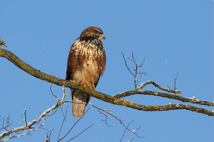
The new technological revolution brought about by the development of unmanned aircrafts raises a number of questions, including how their presence in the air impacts the original inhabitants of air space, i.e. birds. Often, unmanned aircrafts look much like larger birds. While smaller birds usually make way for them, the larger ones tend to put up a fight, especially if such an aircraft flies close to their nest. According to experts studying bird behaviour, birds of prey can be especially aggressive in defending their nests against other birds of prey. Since drones remind them of raptors in terms of their size, they perceive them as enemies. In addition, these birds are known to fight drones very effectively, disabling them without getting themselves injured by rotors. They attack the other bird by striking it in the middle of their back and apply the same technique on drones, whereby their excellent eyesight helps them avoid the spinning rotors.
Unmanned aircraft operators are aware of how dangerous bird attacks can be. The possibility of an attack is always there and can lead to highly unwelcome consequences, especially in terms of damage to the aircraft, high repair costs and delay of projects for which the drone was used. Unlike passenger planes, drones fly at an altitude at which non-migratory birds typically fly as well. To avoid upsetting the birds, the operators have measures defined in their protocols in order to decrease such risks.
When planning the flight, the unmanned aircraft operator obtains the necessary information on the aircraft’s flying area, including the information on the wild animal species living in that particular territory. While the birds are nesting, the flights are planned so as to avoid nesting areas. For tasks carried out near wild animals, it is best to choose a smaller aircraft that causes a minimum amount of noise.
While the aircraft is flying, the operator’s complete attention is focused on supervising the flight and observing the surrounding area so that they are able to immediately respond to any changes in the planned flight, e.g. if they spot a flock of birds or if the danger of collision arises. The aircraft should not fly too close to the birds, or too fast.
The operator may at any time perform a suitable manoeuvre to prevent collision. Typical manoeuvres in such cases involve fast rising/descending of the aircraft, immediate landing, return to the take-off spot etc. The operator’s decision on which manoeuvre to implement depends on the distance between the aircraft and the hindrance in the air.