+386 1 292 73 90info@geavis.si
SI
logo
Geavis
logo
  • Services
    • Spatial Data Acquisition
    • Advanced Spatial Data Processing
    • Geospatial Analysis
    • Visualizations and Presentations
  • Applications
    • Governmental Institutions and Public Sector
    • Real Estate
    • Mapping and Land Surveying
    • Civil Engineering
    • Industry and Infrastructure
    • Quarries and Open Mines
    • Agriculture and Forestry
    • Insurance
    • Spatial Research
    • Tourism and Promotion
  • Technology
  • Projects
  • Geavis
    • Geavis
    • Clients
    • Contact
  • Blog
How a panoramic photograph is made by using a drone?
How are true orthophoto mosaics made?
Accurate data from the air, when you need them
07.09.2015 Technology

Vstopni_portal_Markovec_IMG_4601

Modern geographic information systems have changed the way we work, make decisions, and change the world around us. Every moment, we have access to an endless number of geographic data, which presents us with a challenge: how do we sort and connect this information, so that it can be used to make management of our spatial development easier. Geographic information has become the basis for quality decision-making, as a combination of various business information and geographic information allows us to better understand the market, clients, and competition. Therefore, the possibility of transforming geographic information into useful information that can be used to support a business decision has become essential.

For this purpose, geographic information systems (GIS) have been implemented, enabling visualisation, review, analysis, and interpretation of data, thus providing a basis for understanding ratios, patterns, and tendencies. GIS is an intelligent digital map composed of layers, which can include, for example, schematic or graphical displays of roads, infrastructure, waterways, ownership of real estate, as well as complex graphical elements, such as aerial photography or satellite imagery. Layers can overlap each other and be cross-linked, thus presenting answers to question regarding locations as well as providing the possibility of reviewing spatial relationships.

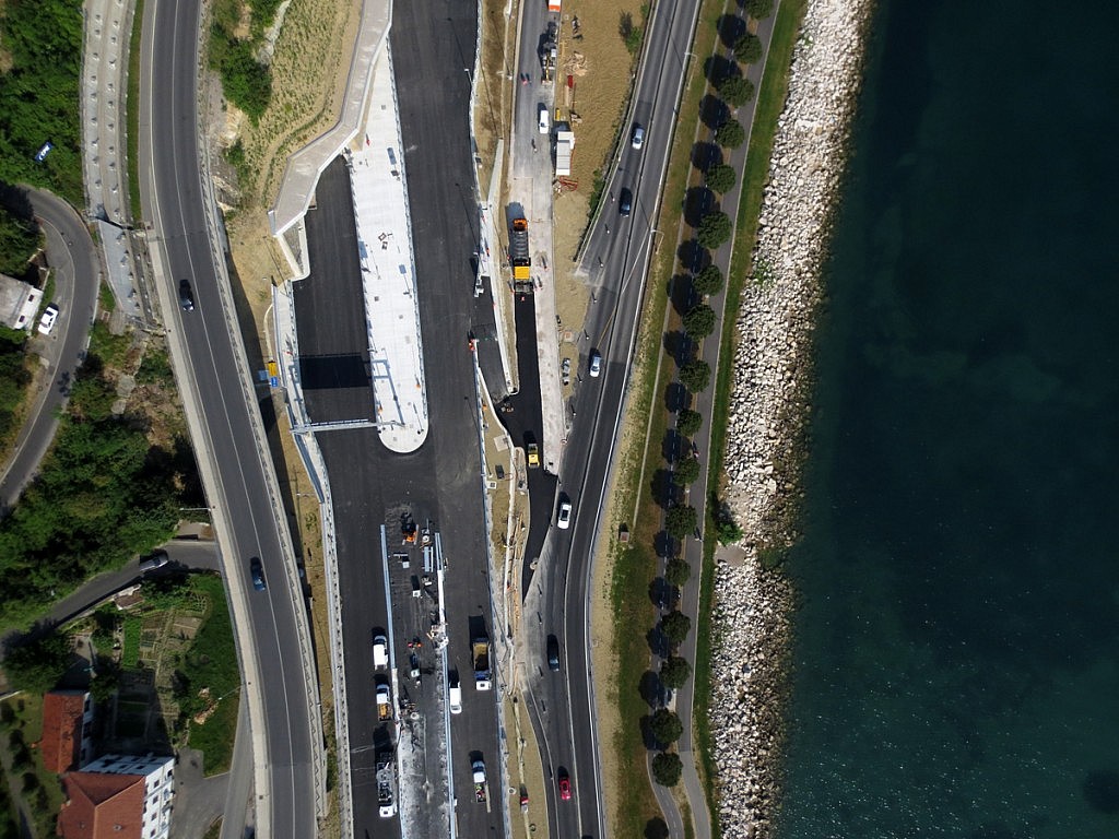
Aerial photographs can significantly improve the work efficiency of GIS experts. By using a drone, we can obtain precise aerial imagery and convert them into raster and metric 2D orthography mosaics and 3D models of small to medium scope. Simple and fast, whenever a need arises. We only prepare a flight plan, launch the drone, transfer the photographs, and we can already process raster data – all this in a single day.

Regardless the segment of your activities, be it management of space and assets, agriculture and forestry, construction and engineering, environmental protection, or any other, use of drones provides numerous advantages, as the information is provided in a precise, quick, and cost-effective manner. Only one question remains: How can it help you, specifically?

0 Like!
Share
Leave a reply Required fields are marked *

Click here to cancel reply.

Categories

  • Agriculture and Forestry (4)
  • Mapping and Surveying (2)
  • Public Sector (1)
  • Quarries and Open Mines (2)
  • Real Estate (3)
  • Regulations (5)
  • Spatial Research (2)
  • Technology (40)
  • Trends (13)

Archive

  • January 2019 (1)
  • September 2018 (2)
  • June 2018 (1)
  • March 2018 (1)
  • January 2018 (2)
  • December 2017 (1)
  • September 2017 (1)
  • June 2017 (1)
  • May 2017 (2)
  • April 2017 (1)
  • March 2017 (1)
  • February 2017 (1)
  • January 2017 (3)
  • December 2016 (1)
  • November 2016 (1)
  • October 2016 (1)
  • September 2016 (2)
  • August 2016 (1)
  • July 2016 (2)
  • May 2016 (2)
  • April 2016 (1)
  • February 2016 (2)
  • January 2016 (1)
  • December 2015 (1)
  • November 2015 (1)
  • October 2015 (1)
  • September 2015 (2)
  • August 2015 (1)
  • July 2015 (2)
  • May 2015 (1)
  • April 2015 (1)
  • March 2015 (2)
  • February 2015 (3)
  • January 2015 (4)

GEOSPACE

Geospace is Geavis' collection of domestic and foreign web contents describing the adventures of those small civil unmanned drones, the application aspects of aerial photography and geospatial challenges for the benefit of life and business.


View my Flipboard Magazine.

Follow us

LinkedINYouTubeskype

BE INFORMED


We will not spam! Ever! You can unsubscribe any time.
© 2016 Geavis d.o.o.
  • | Cookies Information
  • | Legal Information
  • | Authors
Geavis