+386 1 292 73 90info@geavis.si
SI
logo
Geavis
logo
  • Services
    • Spatial Data Acquisition
    • Advanced Spatial Data Processing
    • Geospatial Analysis
    • Visualizations and Presentations
  • Applications
    • Governmental Institutions and Public Sector
    • Real Estate
    • Mapping and Land Surveying
    • Civil Engineering
    • Industry and Infrastructure
    • Quarries and Open Mines
    • Agriculture and Forestry
    • Insurance
    • Spatial Research
    • Tourism and Promotion
  • Technology
  • Projects
  • Geavis
    • Geavis
    • Clients
    • Contact
  • Blog
Studying vegetation from aerial photographs
How a panoramic photograph is made by using a drone?
Spectral recording of vegetation
12.07.2015 Agriculture and Forestry

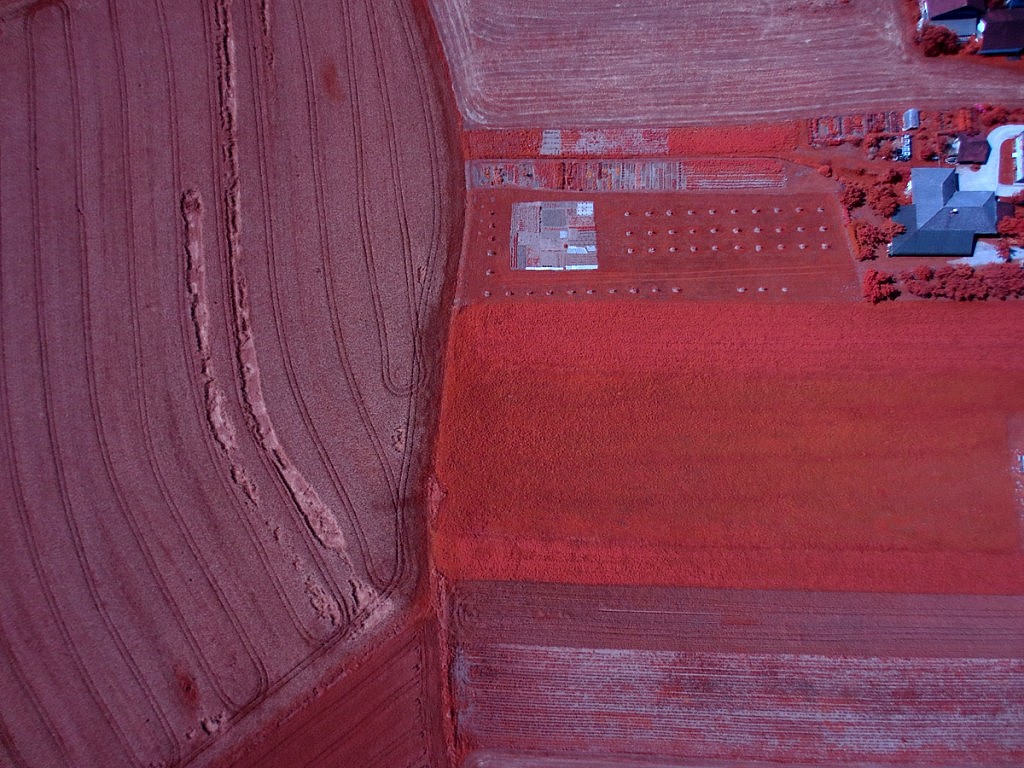
There is a wide range of cameras which can be fitted to a drone. NIR-cameras capture image data in the infrared portion of electromagnetic spectrum and are used primarily in the areas of high vegetation for the indication of biomass, monitoring the growth, differentiation of crops, indexing leaf areas and other purposes. RE-cameras capture image data in the red portion of electromagnetic spectrum and are used in the areas where the size of vegetation varies from low to high. They can be used for measuring vegetation stress, assessing drought, the indication of chlorophyll, analysis of the aging of vegetation and other purposes.

Obtained spectral photographs allow for the calculation of various spectral indexes, among which most important are vegetation indexes, indexes of soil moisture and vegetation stress, mineral indexes and other. They can also be used to determine the state of vegetation, crops and soil health or stress, changes in bodies of water, and other.

IMG_0167

0 Like!
Share
Leave a reply Required fields are marked *

Click here to cancel reply.

Categories

  • Agriculture and Forestry (4)
  • Mapping and Surveying (2)
  • Public Sector (1)
  • Quarries and Open Mines (2)
  • Real Estate (3)
  • Regulations (5)
  • Spatial Research (2)
  • Technology (40)
  • Trends (13)

Archive

  • January 2019 (1)
  • September 2018 (2)
  • June 2018 (1)
  • March 2018 (1)
  • January 2018 (2)
  • December 2017 (1)
  • September 2017 (1)
  • June 2017 (1)
  • May 2017 (2)
  • April 2017 (1)
  • March 2017 (1)
  • February 2017 (1)
  • January 2017 (3)
  • December 2016 (1)
  • November 2016 (1)
  • October 2016 (1)
  • September 2016 (2)
  • August 2016 (1)
  • July 2016 (2)
  • May 2016 (2)
  • April 2016 (1)
  • February 2016 (2)
  • January 2016 (1)
  • December 2015 (1)
  • November 2015 (1)
  • October 2015 (1)
  • September 2015 (2)
  • August 2015 (1)
  • July 2015 (2)
  • May 2015 (1)
  • April 2015 (1)
  • March 2015 (2)
  • February 2015 (3)
  • January 2015 (4)

GEOSPACE

Geospace is Geavis' collection of domestic and foreign web contents describing the adventures of those small civil unmanned drones, the application aspects of aerial photography and geospatial challenges for the benefit of life and business.


View my Flipboard Magazine.

Follow us

LinkedINYouTubeskype

BE INFORMED


We will not spam! Ever! You can unsubscribe any time.
© 2016 Geavis d.o.o.
  • | Cookies Information
  • | Legal Information
  • | Authors
Geavis