Municipality of Ljubljana in search for solutions to regulate urban space along the Cesta dveh cesarjev road is facing the problem of uncontrolled land use and disorderly records. To establish proper records and allow easier planning of interventions and developing of new spatial planning documents, the Municipality chose the LGB company for producing an appropriate surveying plan. This order required a quick response despite the present winter conditions. So LGB decided to shorten the time of obtaining accurate data by applying the aerial services provided by Geavis.
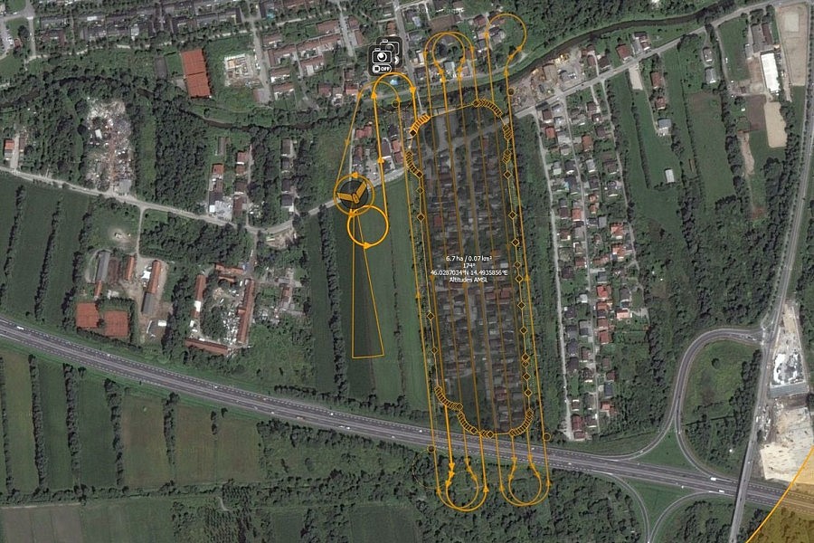
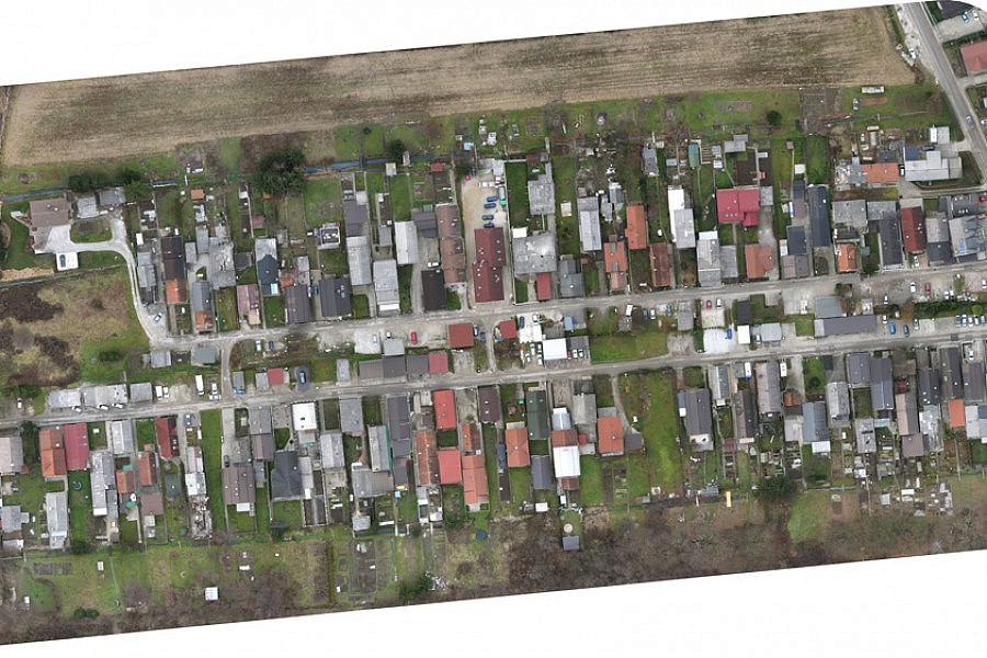
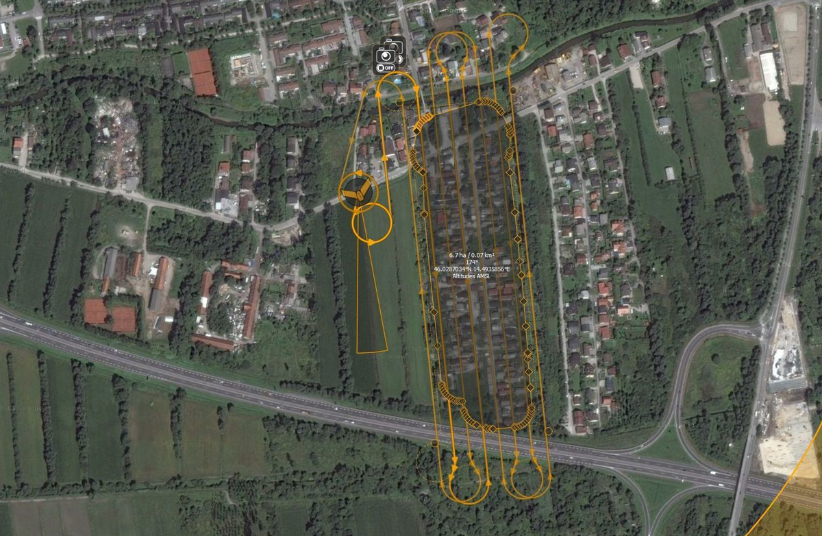
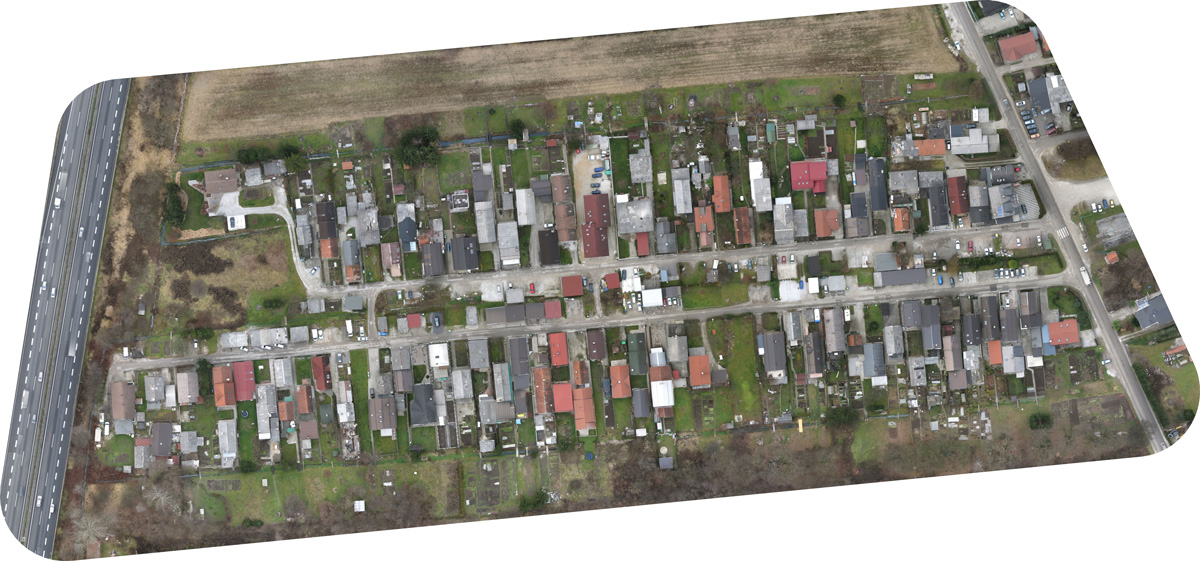
Instead of using conventional field measurements, Geavis shot the selected area at Levar Street from the air. With the aerial photographs obtained by photogrammetric methods, Geavis produced a digital surface model (DSM) and a high resolution planar orthophoto plan. Within 24 hours a georeferenced digital orthophoto mosaic was produced based on the analysis and processing of the 156 aerial photographs the drone had shot. No later than the following day the LGB engineers were able to use the plan for their further surveying tasks. Despite the winter conditions, the project ran incredibly smoothly. Quickly and efficiently the Municipality of Ljubljana was thus provided current information on the actual use of land, urbanisation, etc. as required for creating a new urban design of the area.
- Location: the neighbourhood along the Levarjeva ulica road in Ljubljana, Slovenia
- Area size: cca 7 ha
- Number of images: 156
- Aerial photo resolution: 3 cm/px