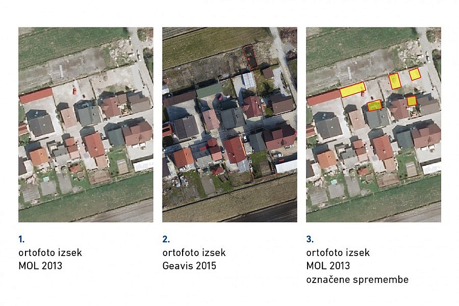
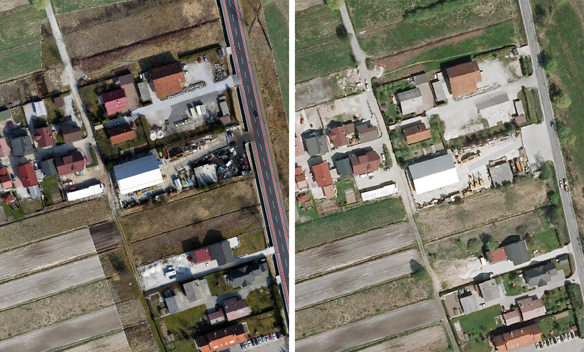
The Municipality of Ljubljana would like to implement a town planning arrangement along the Ižanska cesta road and part of the Rakova jelša neighbourhood. In order to plan developments in this space and prepare new spatial planning documents, top-quality land surveying foundation is required. The LGB company was selected to draw up the land surveying plan; in addition to conducting the traditional site measuring, the company decided to present the site to the contracting authority through the land surveying plan as well as the current high-resolution orthophoto mosaic. Aerial photos along with their further processing and analysis were conducted by Geavis. Aerial photos of the area along the Ižanska cesta road and the Rakova jelša neighbourhood were taken by means of an unmanned aircraft.
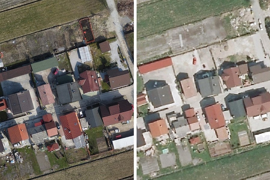
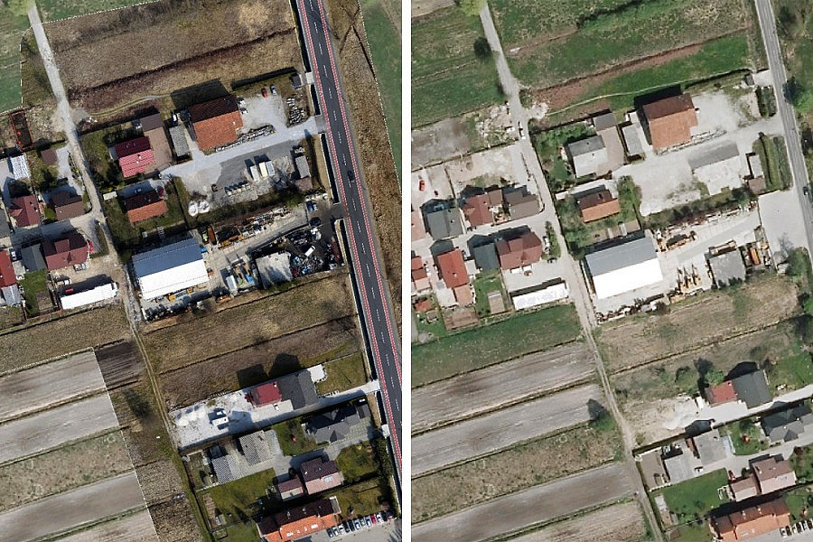
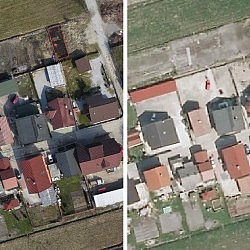
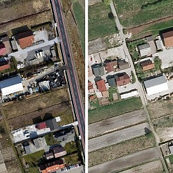
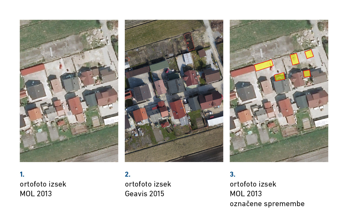
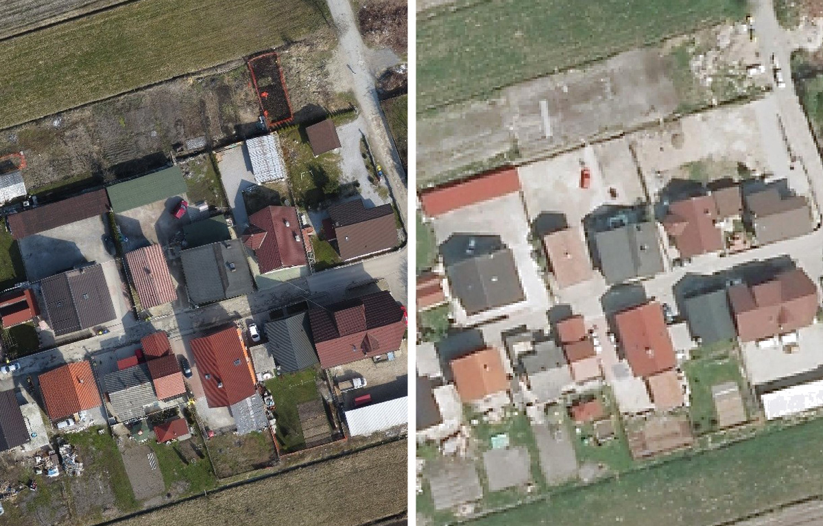
Within a single flight, we obtained 306 high-resolution aerial photos. With photogrammetric algorithms we made a georeferenced orthophoto mosaic and compared it with the mosaic made for the same area back in 2013. The compared algorithms enabled us to then record the changes which occurred in this space within the period of two years. The Municipality of Ljubljana thus quickly and effectively obtained up-to-date data on the current situation in this area in terms of the actual utilisation of space, how the area is built-up, the purpose of land plots etc. All this will be helpful in developing a new town planning design.
- Location: part of the neighbourhood along the Ižanska cesta road
- Area size: app. 18 ha
- Number of flights: 1
- Aerial photo resolution: 3 cm/px
- Weather conditions: clear, no wind