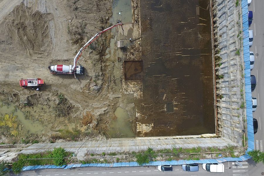
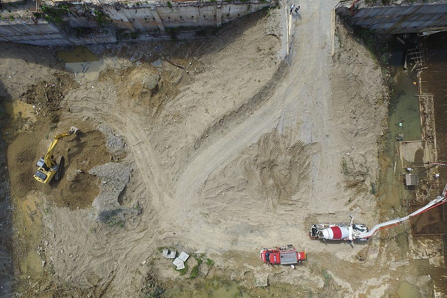
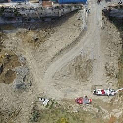
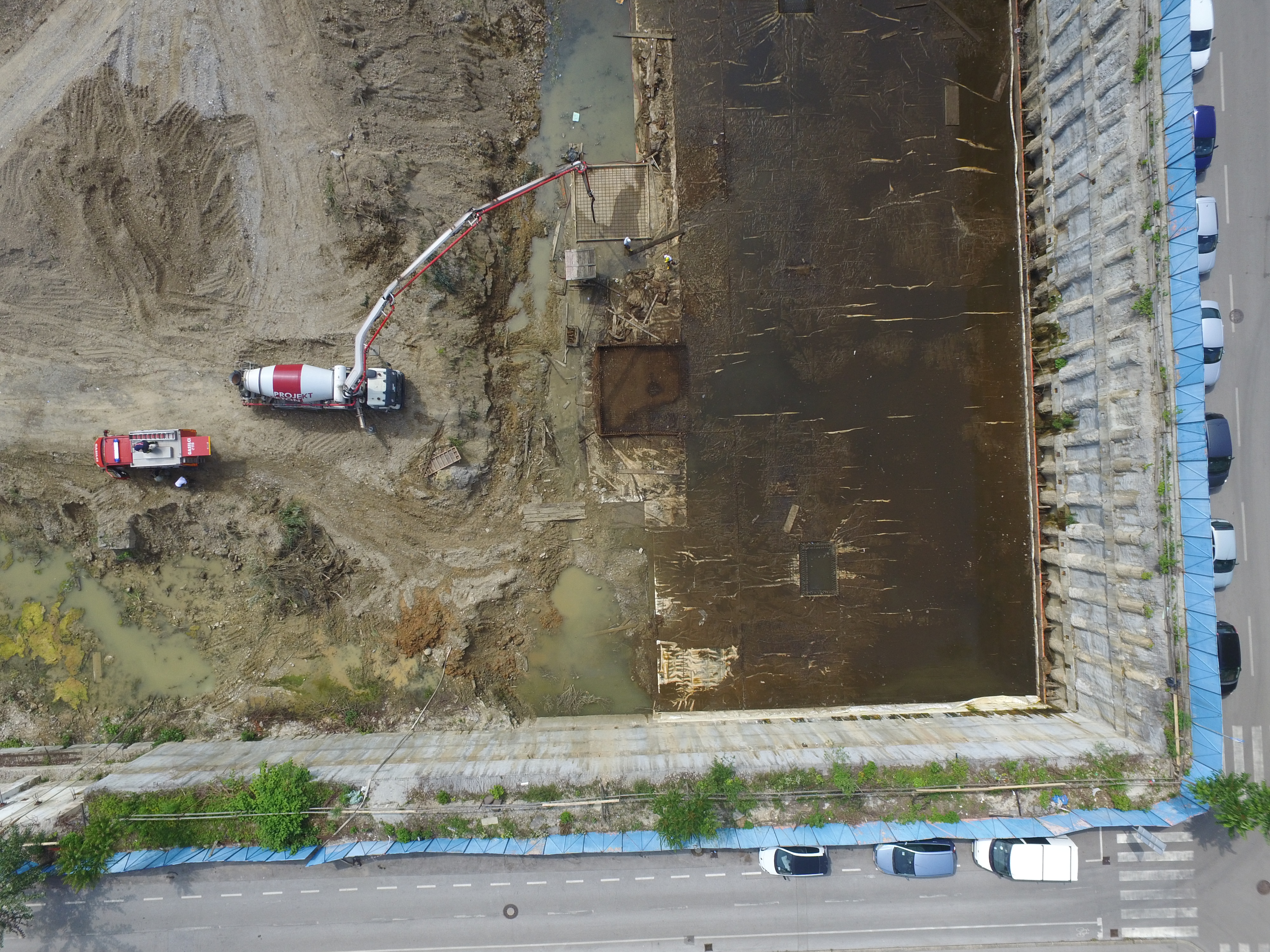
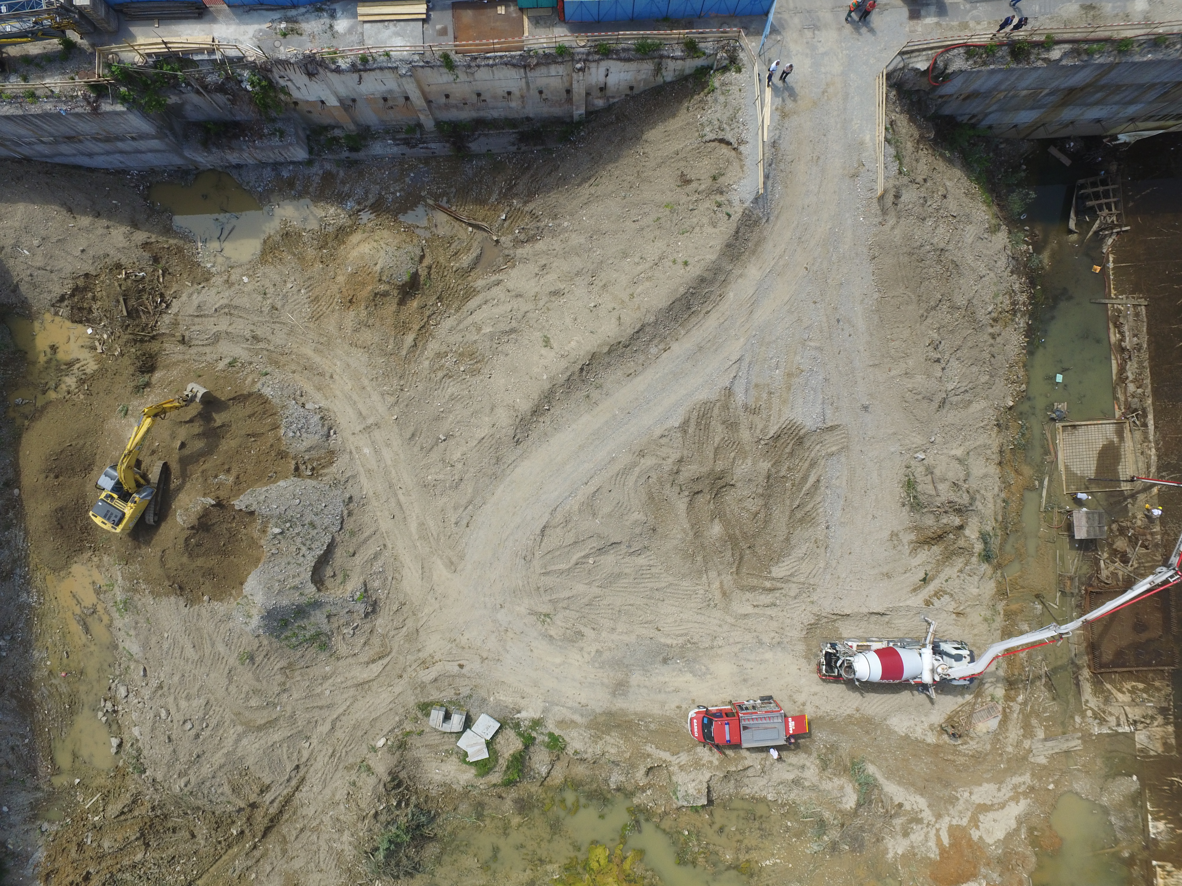
This spring, redevelopment works began on a construction pit located at the Frankopanska ulica Street in Ljubljana. The partially excavated pit still contained large mounds of gravel. The construction company, which was to perform the redevelopment works, needed to know how much gravel there was in the pit.
Aerial photos of the construction pit area were taken by means of the unmanned aircraft at the altitude of 40 m, whereby the surrounding area of the construction pit, including the pavement, was photographed as well. Within the vicinity, we identified 6 ground control points, which later enabled us to enter the 3D model into the National Coordinate System.
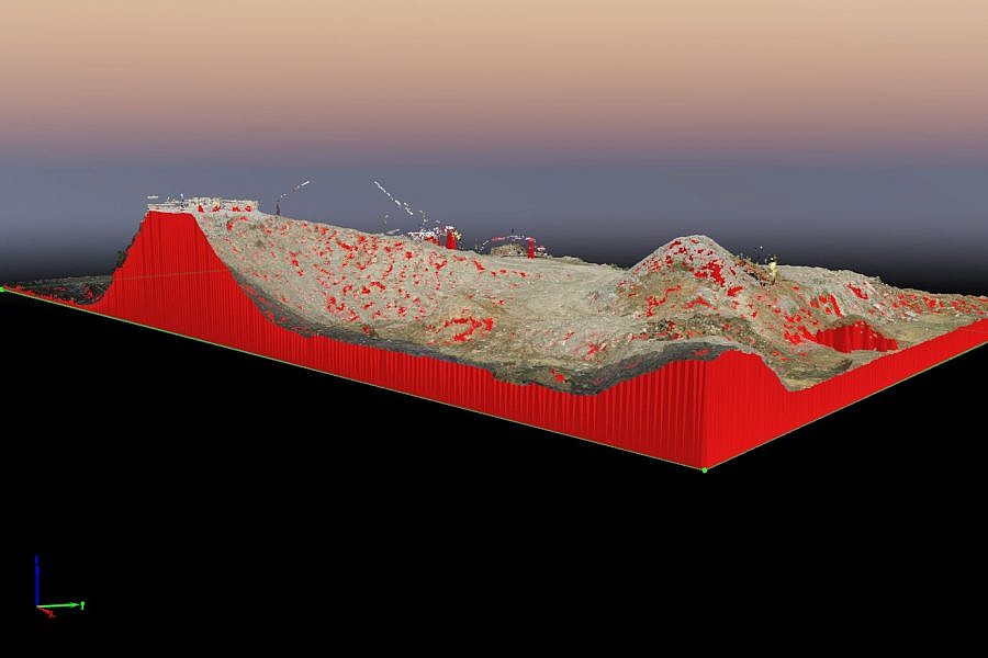
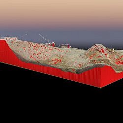
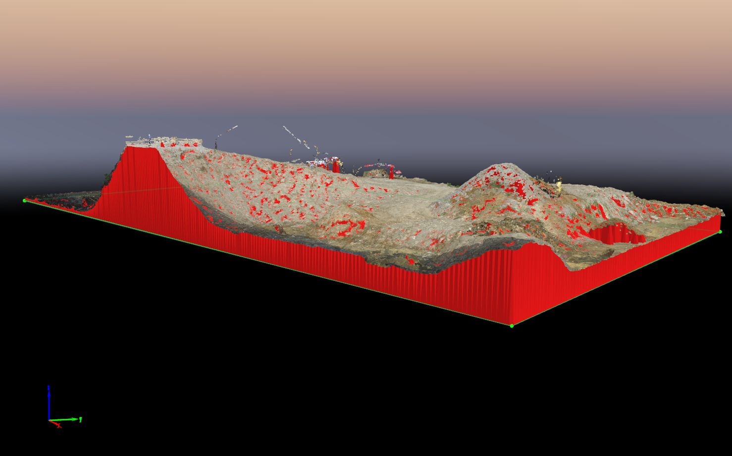
The dense point cloud obtained from aerial photos served as a basis for the digital 3D terrain model (DTM) of the construction pit. The DTM and the appurtenant orthophoto mosaic enabled us to conduct geometric measurements and calculations. The client needed us to calculate the volume of the material between the level of the future foundations, which we determined together with the client, and the surface of the actual 3D terrain model. We thus quickly and effectively provided the client with a precise estimate of the volume of gravel that still needed to be excavated, and helped them establish what kind of a disposal site will be necessary for the material.
- Location: area of the construction pit at the Frankopanska ulica Street in Ljubljana
- Area size: 6500 m2
- Average GSD: 1.5 cm
- Resolution: 1.5 cm/px
- Number of aerial photos: 128
- Number of 3D points: 11.000.000