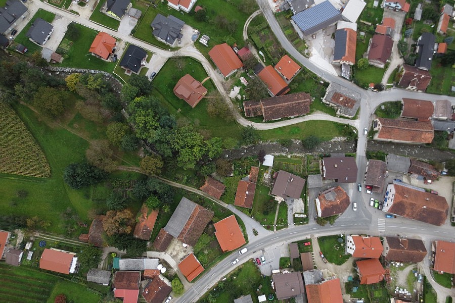
In 2012, the increased inflows into the Drava river basin caused a great natural disaster. In the Carinthia area, a Pohorje torrential stream Oplotnišnica ravaged causing a lot of damage to housing, road and water infrastructure.
The Municipality of Oplotnica has decided this year to draw up a flood study that would serve as a technical basis for space planning, facility placement and their construction. Through the study, the municipality will be able to determine the conditions for land-use planning and preventive measures to reduce the flood risks.
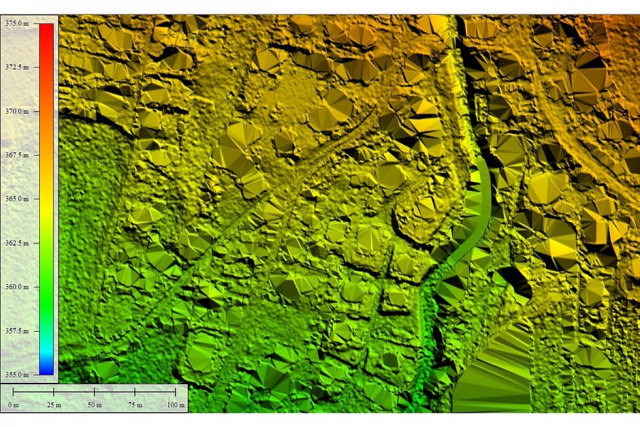
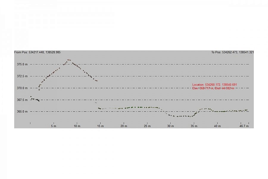
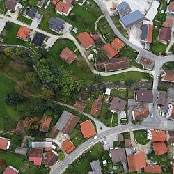
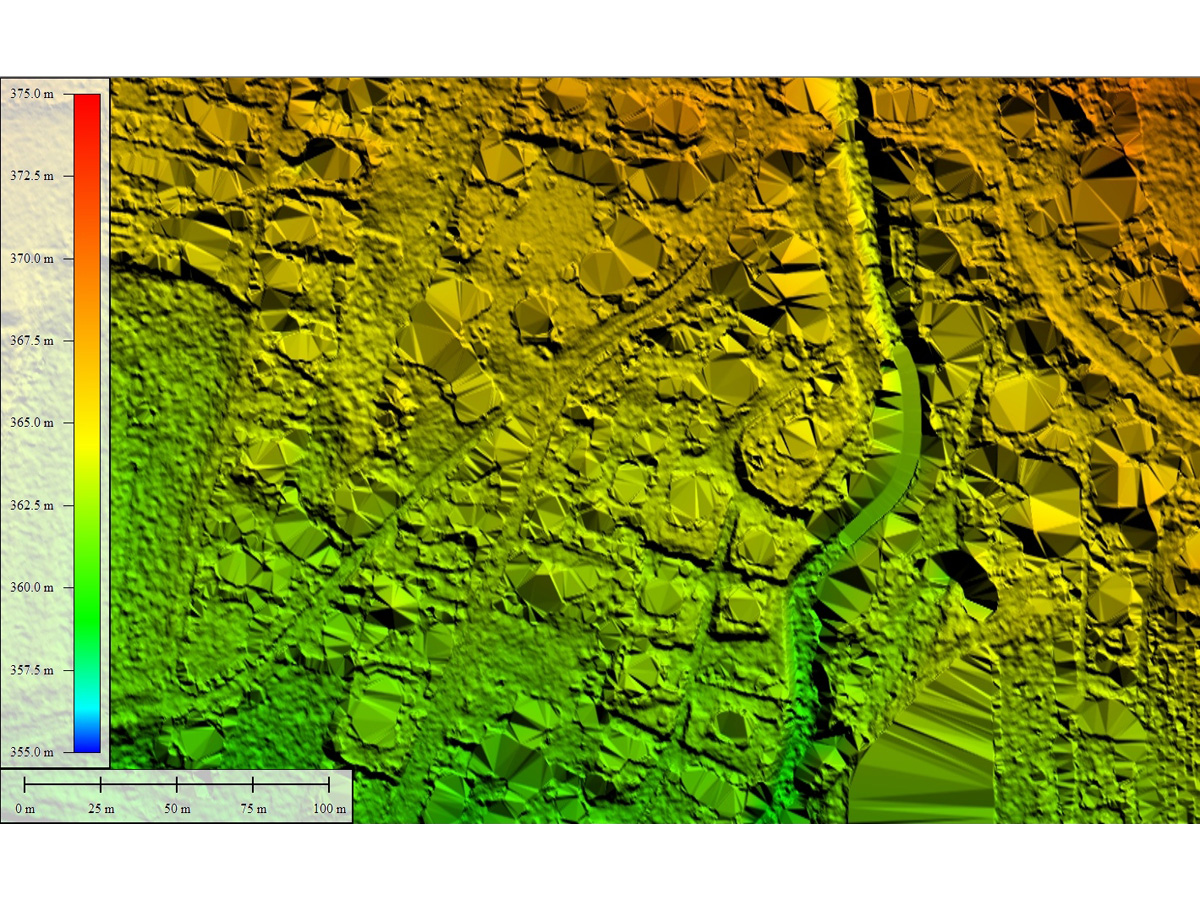
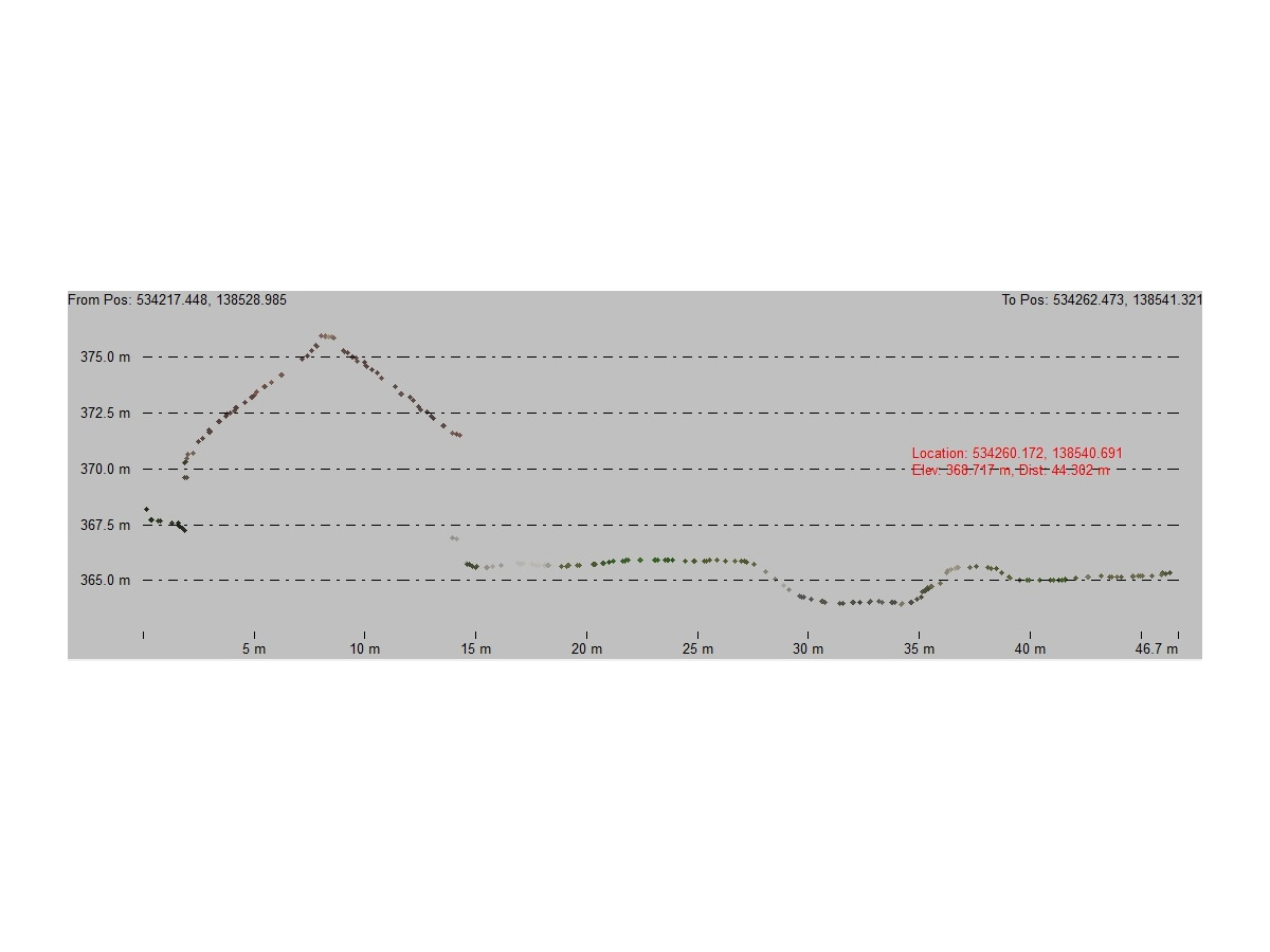
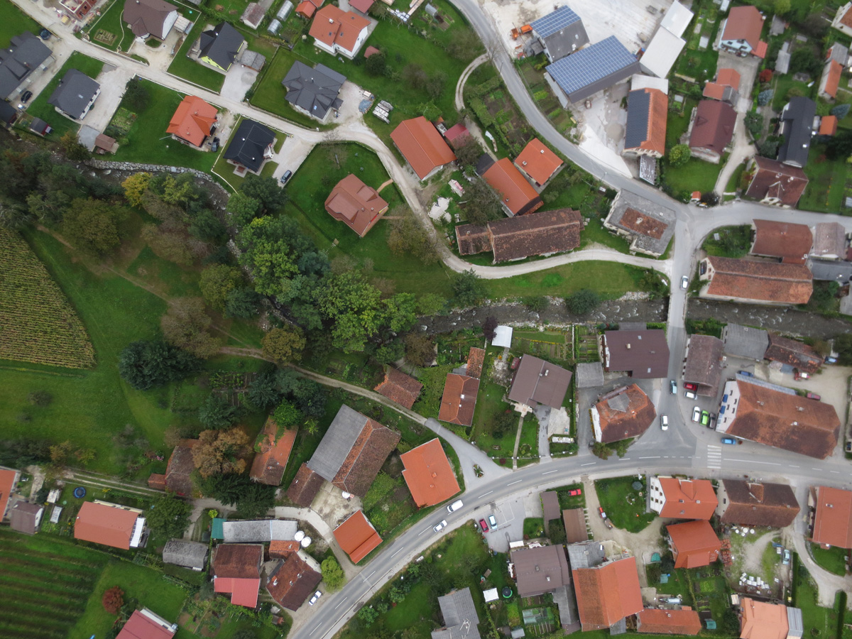
To obtain the information on the terrain covered by the flood study the Municipality addressed to Geavis. Given that the surface area of the size of 3.6 km2 was small, the aerial photography and the geospatial data analysis of the processed aerial photos were the most efficient means to acquire the data. We obtained 2000 high-resolution aerial photos, and therefrom we elaborated with the photogrammetric procedures a dense point cloud of the surface with a point density of 15 points/m2, afterwards the points of the terrain surface were eliminated by geometrical filtering. With the advanced algorithms, the surfaces were stretched by the filtered point cloud, and thus we obtained an accurate digital terrain model (DTM) of the area where the aerial photographs were taken. Given that the customer needed a model with a uniform raster of 1×1, 2×2, and 4×4 m, a digital model was rastered and written in the desired schema.
- Location: Oplotnica, Slovenia
- Area size: 3.6 km2
- Number of flights: 6
- The total flight time: 215 min
- Aerial photo resolution: 6 cm/px